Residential and Commercial Services

Property Corner
Surveys & Staking
The most economical and simplest survey is a property corner survey. If a property has not been surveyed in several years and does not have clear boundaries, the homeowner may have many reasons to have the property corners surveyed and staked. Property Corner Staking can help alleviate confusion and disputes with neighbors. Many times, a property owner may just want to know where their property corners are located so they can construct a fence or know where their property maintenance ends.
Mortgage Surveys
Mortgage Surveys are different from other types of property surveys in that they are usually requested or required by insurance, title companies and lending institutions. They are looking to verify that the property that they are lending money for the purchase is as described in legal documents and is suitable as collateral for your mortgage loan. A mortgage survey can also indicate if there are structures encroaching on the property.


Boundary Line Surveys
The purpose of a boundary line survey is to establish the outer boundaries of a property based on physical and documented points. This can be done through previous markers and the establishment of new landmarks. Boundary surveyors will also mark both the corners and lines of the land and identify and flag iron rods and boundary pins, replacing them if they are missing.
Plat Maps and Drawings
A plat map is a guide to a tract of surveyed land created and maintained by licensed surveyors. They are a blueprint containing detailed property information used by a variety of interested parties. Most land lots already have a filed plat on record. After the filing of a plat, legal descriptions can refer to block and lot-numbers. In order for a modification of a plat, such as a driveway right-of-way, to become legally valid, a local governing body, such as a public works department, urban planning commission, or zoning board must normally review and approve them.


Topographical Surveys
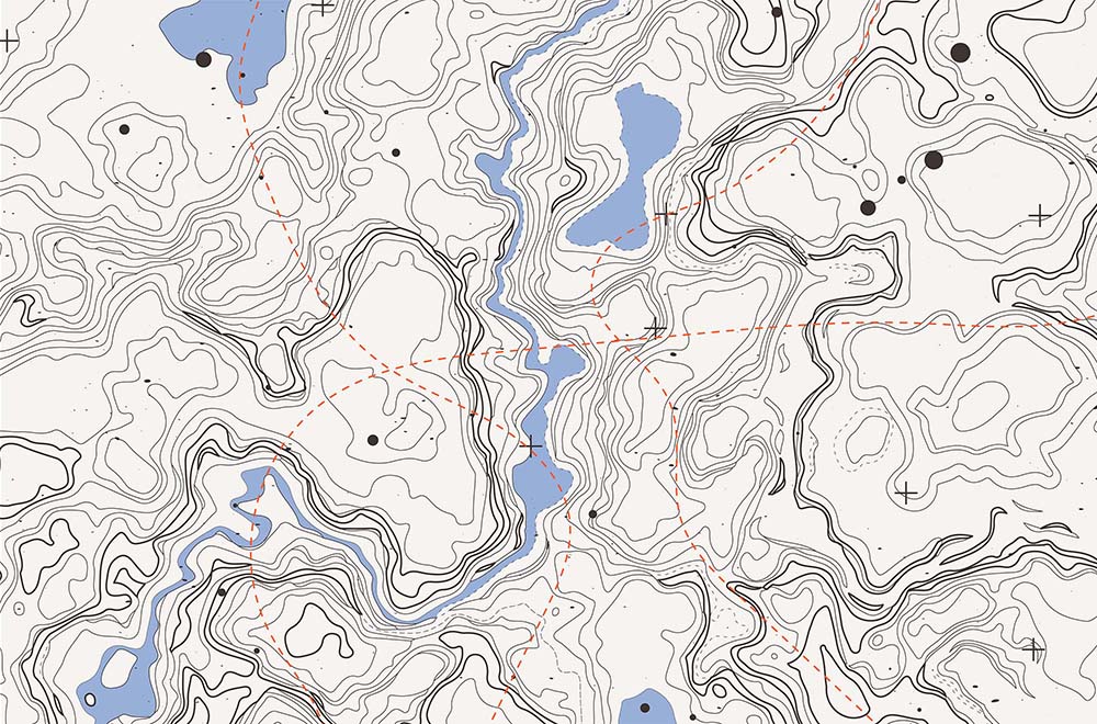
Topographic surveys are land surveys that locate natural features on a piece of property. They provide a drawing on the vertical relief of the land. A topographic survey will include spot elevations and contour lines to depict the relief of the surveyed area. A typographic survey also includes the physical features on the site such as streams and roads. A detailed typographic survey can also include buildings, fences, and other man-made objects. This type of survey is commonly used for studies that require permitting such as engineering projects, landscaping and construction.
Commercial Surveys & Services
Lovell, Stroud & Associates offers a full range of commercial land surveying services. Our commercial services include construction surveys, As-Built Surveys, Site Plans, Foundation Surveys, Grading Plans, and subdivision platting. Please call us to discuss your commercial project.

Proudly serving White County, Habersham County, Stephens County, and Rabun County for more than 50 Years.


